Free Blank USA Map Templates
Our high-resolution blank USA map templates provide clean, accurate outlines of the United States that are perfect for educational assignments, classroom activities, presentations, and creative projects. These blank USA maps without names can be used for labeling exercises, coloring activities, or as base templates for custom map projects.
Each blank USA map outline is carefully designed to show accurate state boundaries while providing a clean slate for your specific needs. Whether you're creating a geography quiz, developing educational materials, or designing a custom visualization, our blank maps provide an excellent starting point.
Types of Blank USA Maps Available
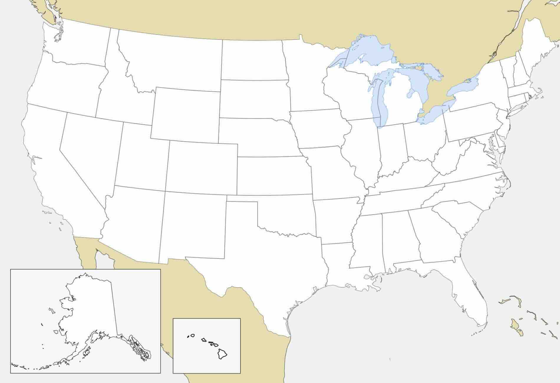
Basic Outline - USA Map Without Names
Our most minimal blank USA map features only state boundary lines with no text or labels of any kind. This clean outline version is ideal for:
- Geography quizzes and testing knowledge of state shapes and locations
- Art projects requiring a simple outline
- Custom infographics where you'll add your own data visualization
Outline with State Boundaries Only
This blank USA map clearly shows all state boundaries but contains no text labels. Ideal for:
- Educational activities where students label states and capitals
- Projects requiring clear state divisions
- Custom color-coding or shading exercises
Outline with Major Geographic Features
This blank USA map includes state boundaries plus major lakes, rivers, and mountain ranges as subtle background elements. Perfect for:
- Physical geography education
- Projects relating to natural features
- More context while maintaining a clean design
Quiz-Ready States Names Maps
Our quiz-ready maps are perfect for classroom activities, self-testing, and educational games. These maps include various levels of difficulty:
- Level 1: Basic state identification with helpful reference outlines
- Level 2: Intermediate challenge with minimal guidance
- Level 3: Advanced quiz format for testing comprehensive knowledge of state locations
Creative Ways to Use Blank USA Maps
Educational Applications
Blank USA maps are invaluable teaching tools for geography education:
- State Identification - Have students label all 50 states on a blank USA map
- Capital Cities - Practice marking and naming state capitals
- Population Density - Color-code states based on population statistics
- Historical Progression - Show how the USA map has evolved by marking territories and dates of statehood
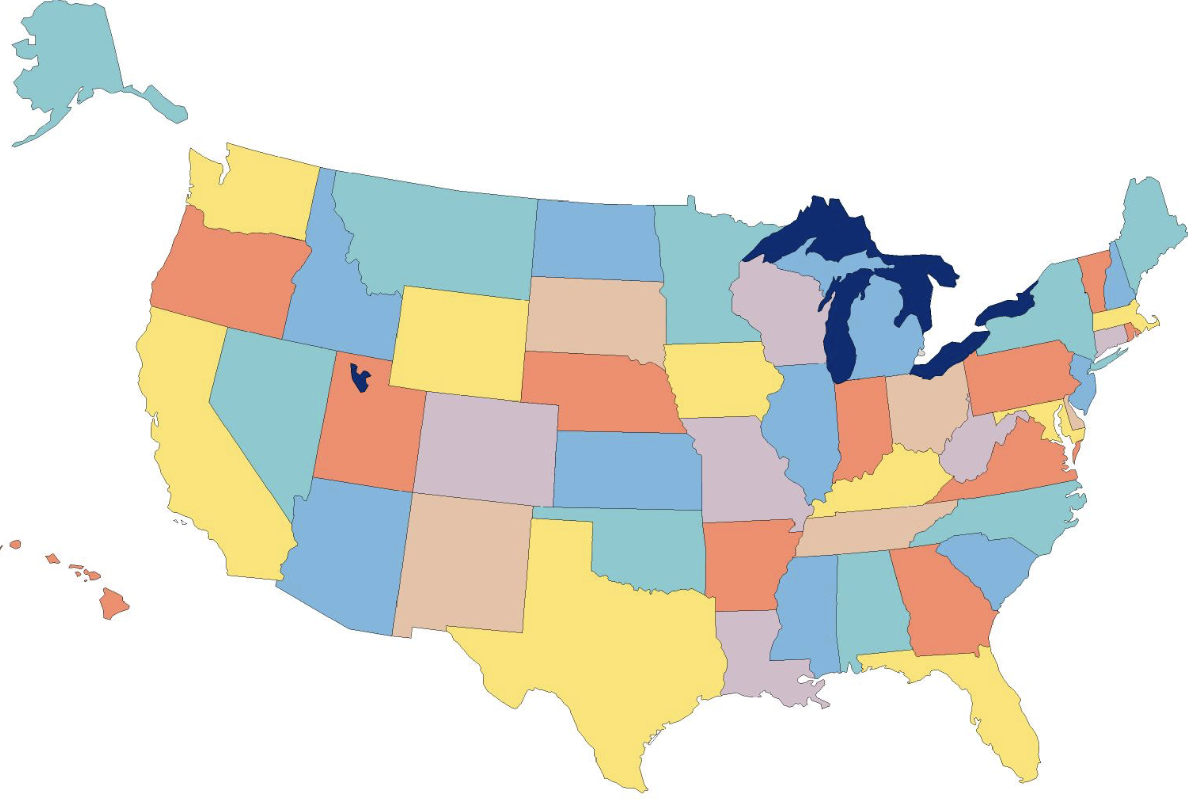
- Regional Grouping - Color-code by geographic regions (Northeast, South, Midwest, West)
Business and Presentation Uses
Blank USA maps provide excellent templates for business visualizations:
- Sales Territories - Define and display regional sales areas
- Market Penetration - Color states based on market share or customer concentration
- Expansion Planning - Highlight target regions for business growth
- Distribution Networks - Map shipping hubs, warehouses, and service areas
Personal and Creative Projects
Beyond education and business, blank USA maps can inspire creative personal projects:
- Travel Tracking - Color in states you've visited
- Ancestry Mapping - Highlight states where family members live or originated
- Sports Fandom - Color-code based on favorite teams or rivalries
- Election Analysis - Create your own political maps
- Custom Wall Art - Print and customize for unique home decor
How to Customize Your Blank USA Map
Basic Customization (No Special Software Needed)
You can easily customize our blank USA maps with tools you already have:
- Download and print the blank USA map PDF
- Use colored pencils, markers, or highlighters to color states
- Add labels with pen or printed stickers
- Add symbols or icons to mark points of interest
- Use tracing paper overlays for different data sets
Digital Customization
For digital projects, our SVG blank USA maps offer unlimited customization potential:
- Open the SVG file in vector editing software like Adobe Illustrator, Inkscape (free), or Figma
- Each state is a separate path object that can be individually selected and modified
- Change colors, add patterns, or apply effects to states
- Add text labels, data points, or custom icons
- Resize or crop the map to focus on specific regions
- Export in any format you need for your project
Pro Tip:
For classroom use, print multiple copies of our blank USA map and laminate them. Students can then use dry-erase markers for reusable geography activities.