Free Printable Map of the United States with State Names
Download a free printable US map with all 50 states labeled. The map is a clean, high-resolution PDF designed for standard printers: every state name is printed in clear, readable type, borders are crisp, and Alaska and Hawaii are included in insets. Choose the version with or without state capitals, then pick A4 or US Letter paper.
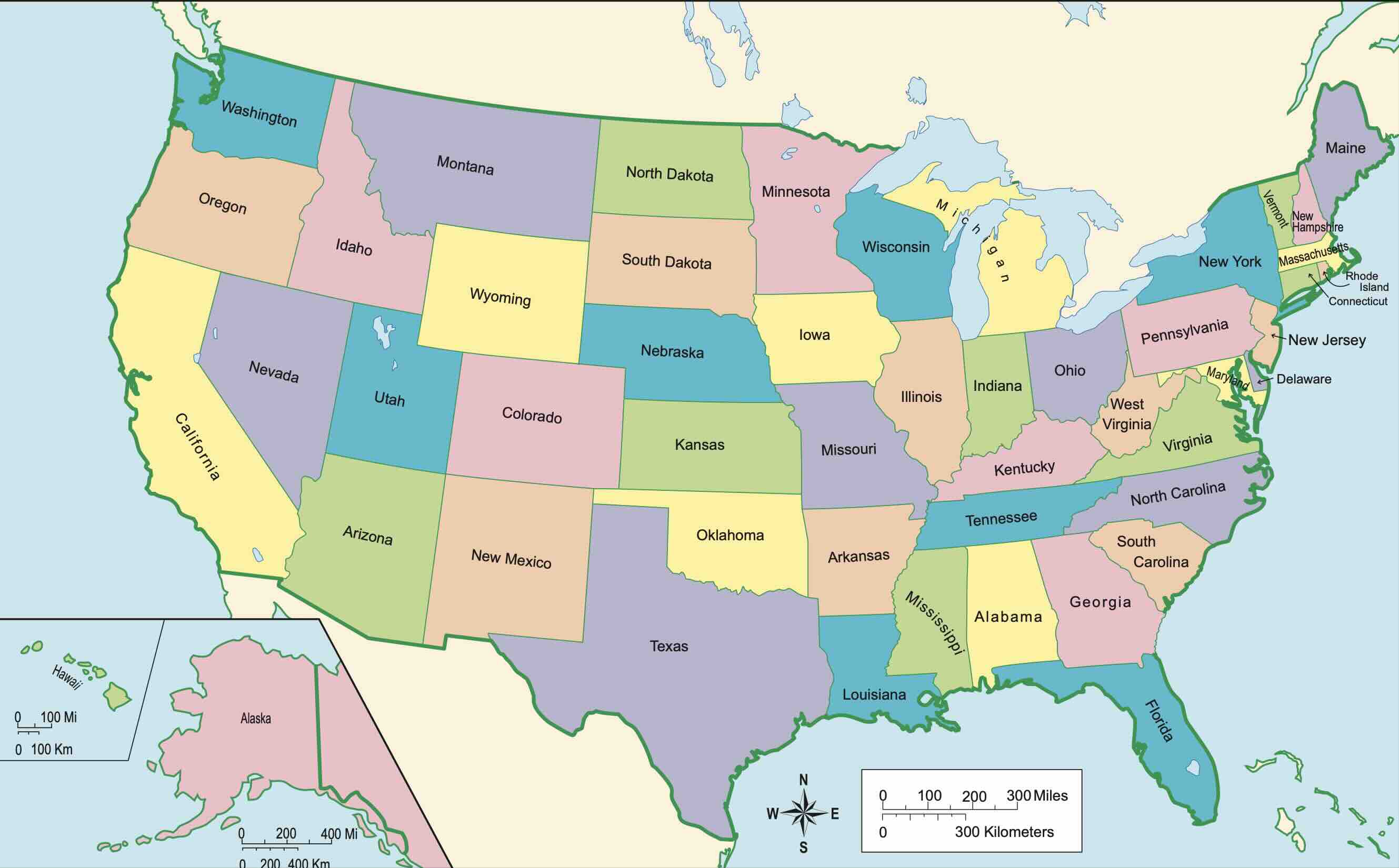
Download the Labeled US Map (PDF)
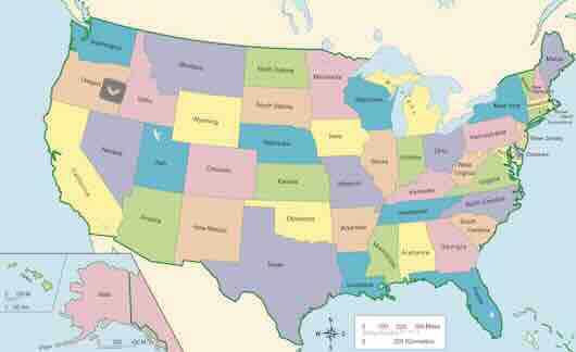
US Map with States Labeled
All 50 state names, no capitals. The classic classroom reference map.
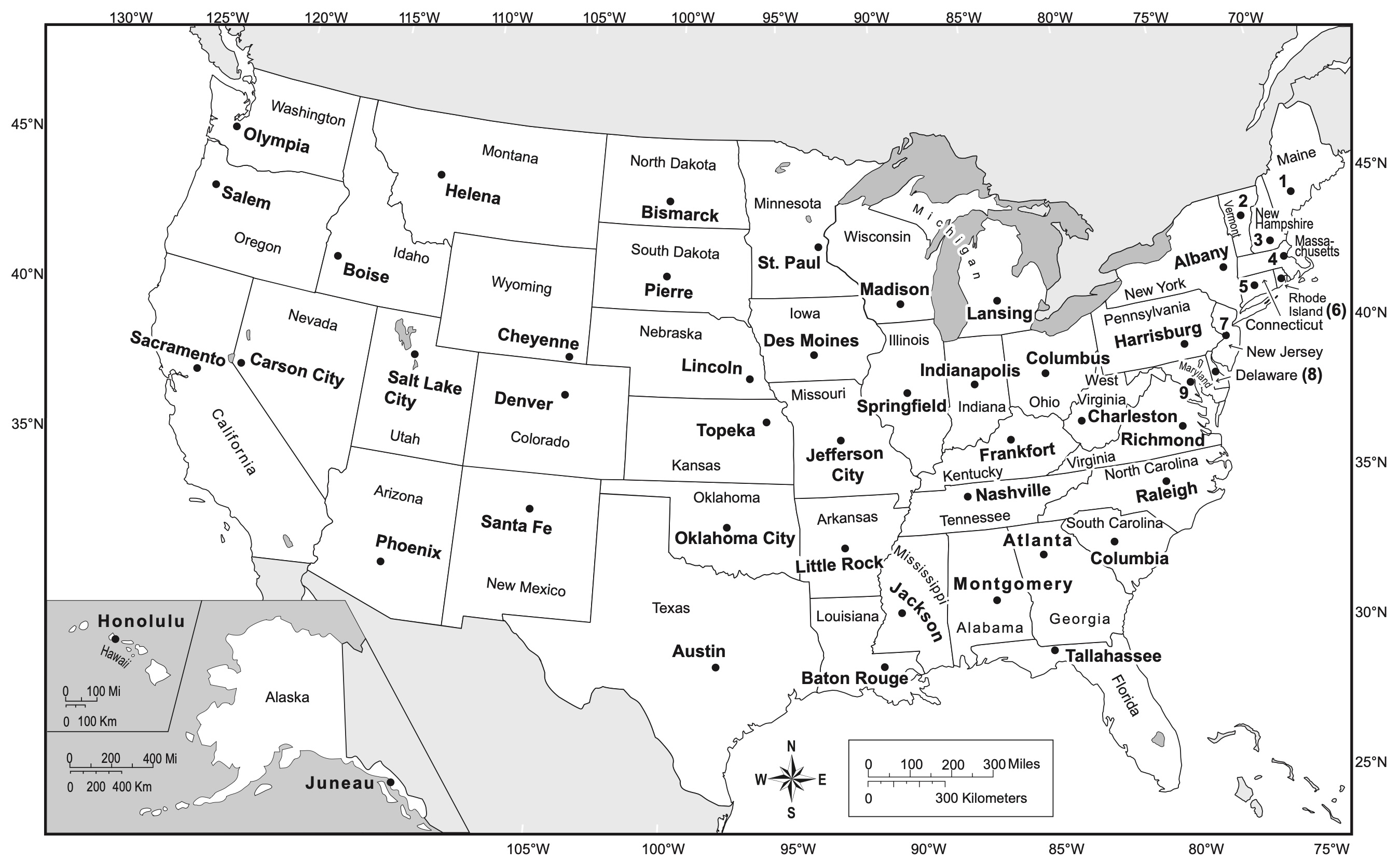
US Map with States and Capitals Labeled
State names plus a star and label for each of the 50 state capitals.
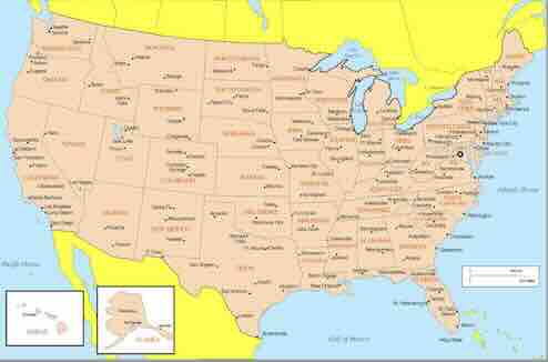
US Map with States and Major Cities
Labeled states with capitals and the largest cities marked.
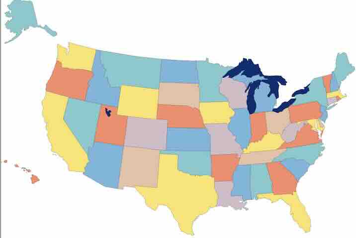
Blank US Map (for practice)
Same outline without labels, to test what you learned from the labeled map.
What Is on the Labeled Map
- All 50 states with full names (abbreviations are used only where a state is too small for the full name, such as RI, CT, DE and NJ)
- Washington, DC marked on the East Coast
- Alaska and Hawaii in insets at the lower left
- State capitals marked with a star on the capitals version
- Landscape layout sized to fill an A4 or US Letter sheet
- Print-friendly colors that work in both color and black and white
Looking for the full list of states, abbreviations and capitals to go with the map? See our US map with states labeled page, which has an interactive version and a complete table.
How to Print the Map
- Click the A4 or Letter button above to open the PDF.
- Press Ctrl+P (Windows) or Cmd+P (Mac).
- Set orientation to Landscape and scaling to Fit to page.
- Choose color or grayscale, then print. For a wall map use the Poster option to tile across several sheets.
For classroom sets, print on cardstock and laminate so students can write on the map with dry-erase markers and reuse it.
Ways to Use a Labeled US Map
Learning the 50 states
Start with the labeled map, cover the names with your hand, and say each one out loud. When you can name every state, switch to the blank map and write the names in yourself. Our online USA map quiz gives instant feedback the same way.
Teaching state capitals
The capitals version pairs each state with its capital city. Use it with the state capitals table for a full study sheet.
Travel and road-trip planning
Print the map, then trace your route with a highlighter and mark stops. For city-level detail, open the individual state maps or city maps.
Time zone planning
Combine with the printable US time zones map to see which states are on Eastern, Central, Mountain or Pacific Time.
Frequently Asked Questions
Is this printable US map with states labeled really free?
Yes. All maps on USAMap.net are free for personal, classroom and non-commercial use. No sign-up is needed - click a download button and the PDF opens or saves directly.
What paper size should I choose?
Use US Letter (8.5 x 11 in) if you are printing in the United States or Canada, and A4 (210 x 297 mm) almost everywhere else. Both versions are landscape and print edge to edge on a standard home or office printer.
Can I print the labeled US map in black and white?
Yes. The state names are printed in dark text with high-contrast borders, so the map stays perfectly readable in grayscale. Choose "Black & White" or "Grayscale" in your printer dialog to save ink.
Can I print it larger than one page?
Yes. In Adobe Reader or Preview choose "Poster" or "Tile" in the print dialog and set the scale to 200% or more; the map will be split across several sheets you can tape together for a wall map.
Do you have a version without the state names?
Yes - the blank US map has the same outline with no labels, which is ideal for quizzes and fill-in-the-blank exercises. You can also use both together: study with the labeled map, then test yourself on the blank one.